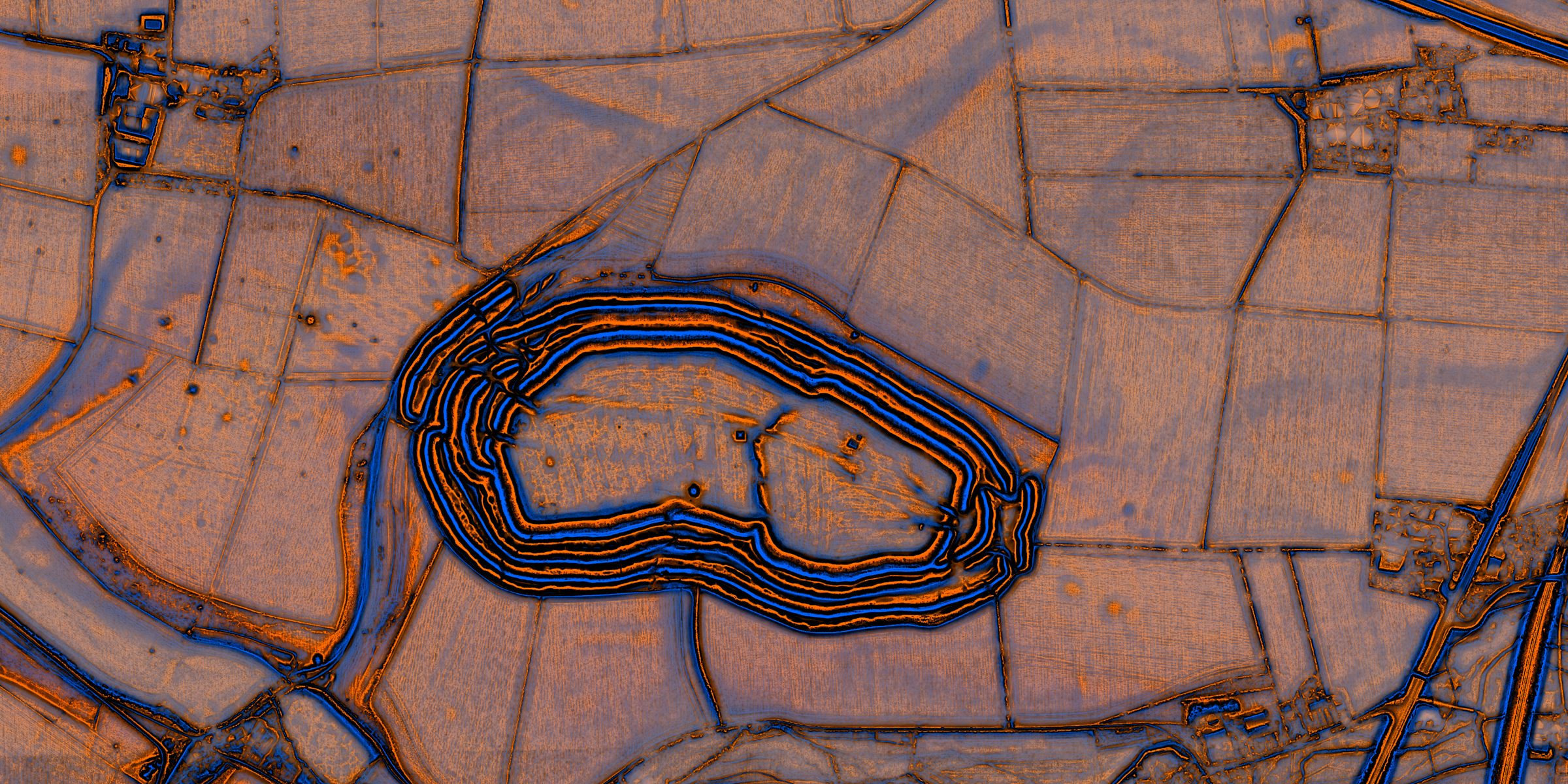
One metre LiDAR
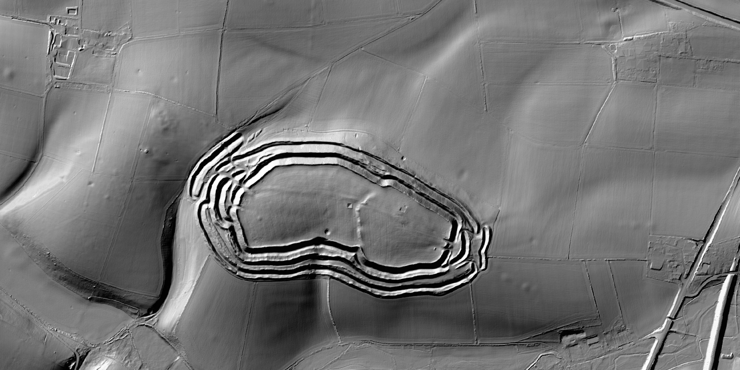
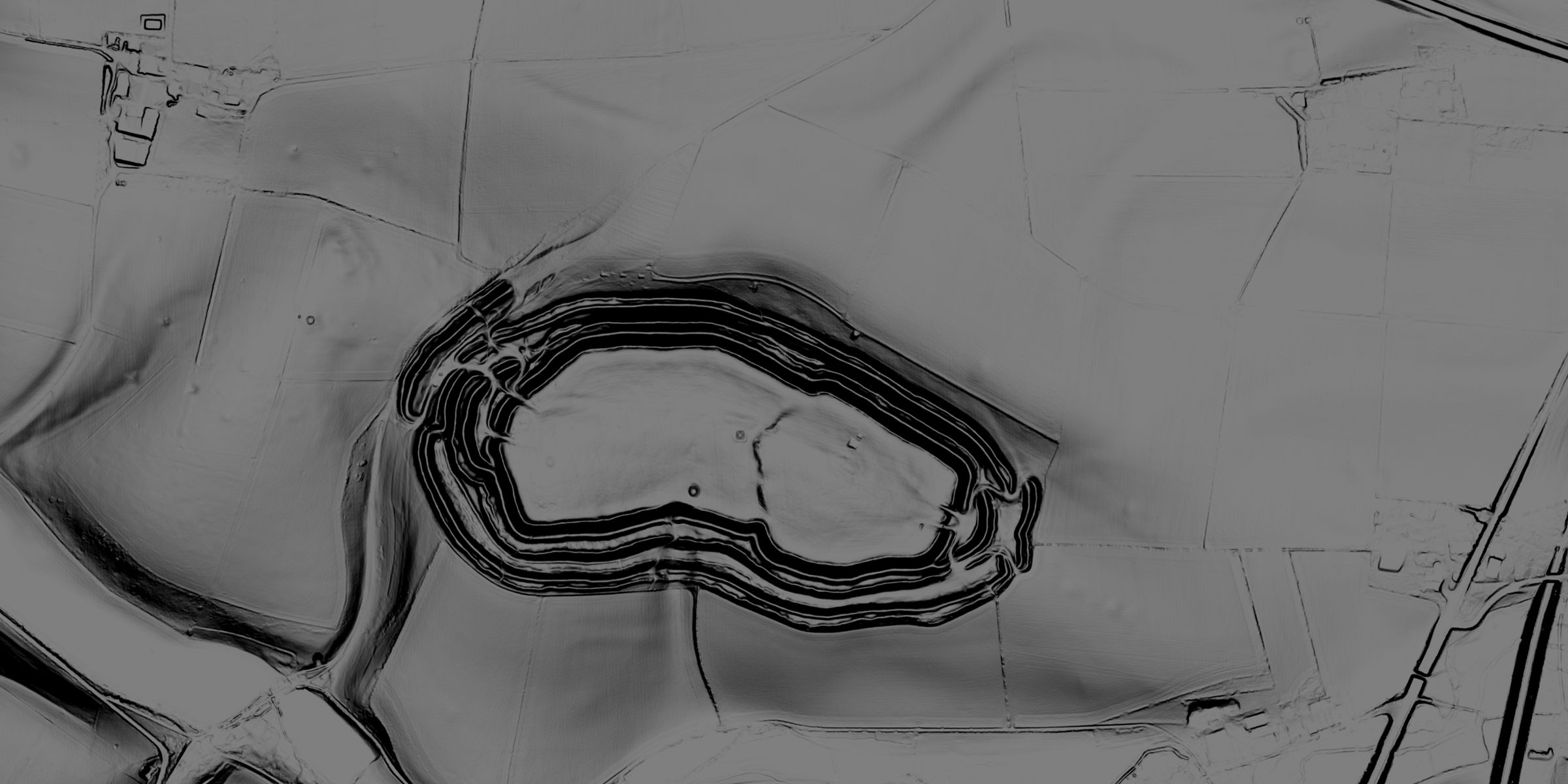
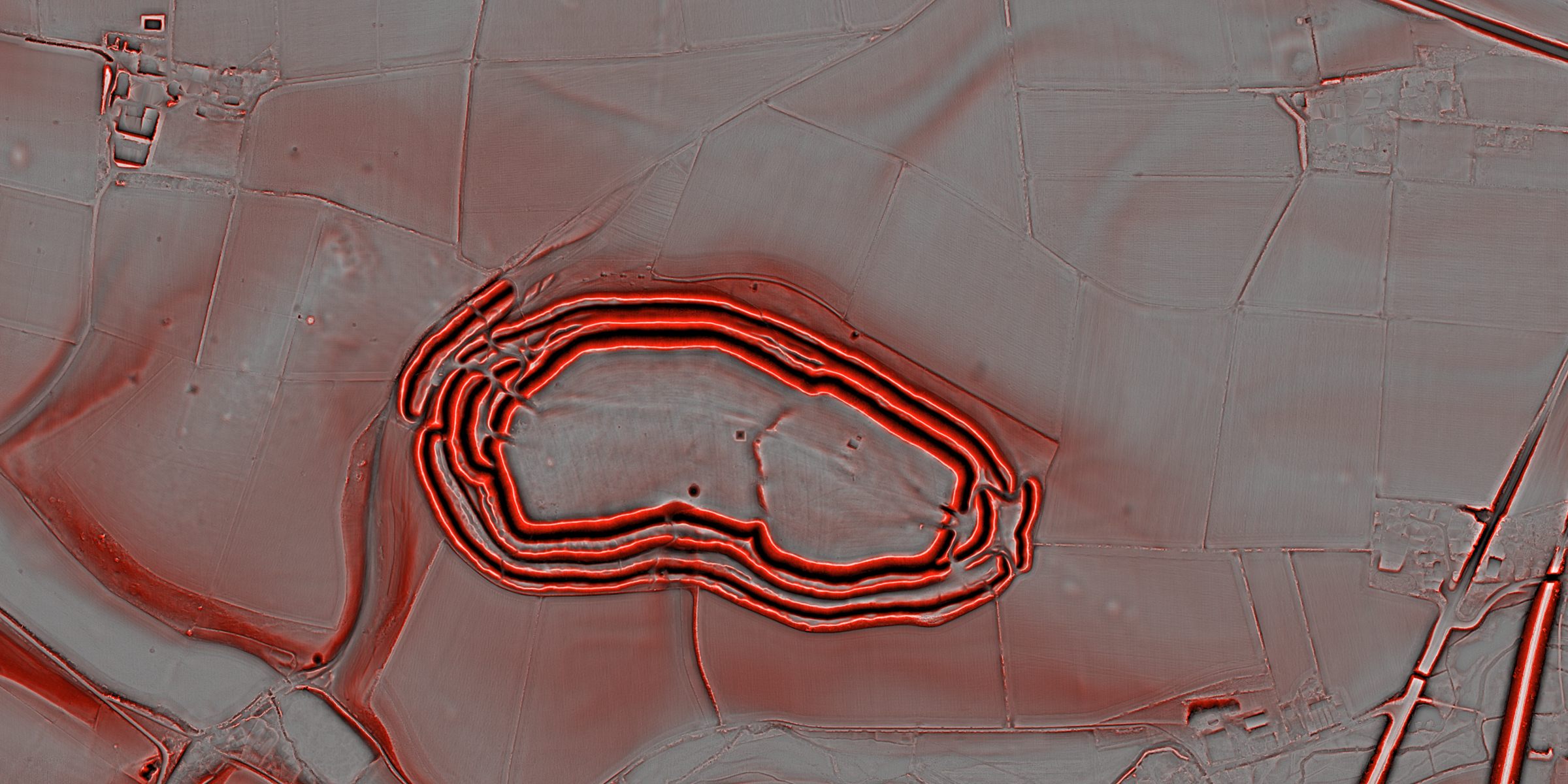
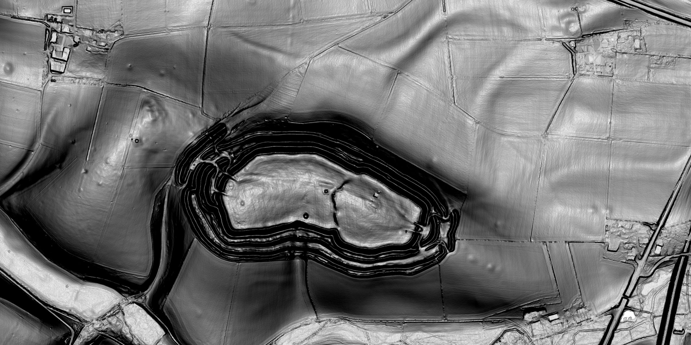
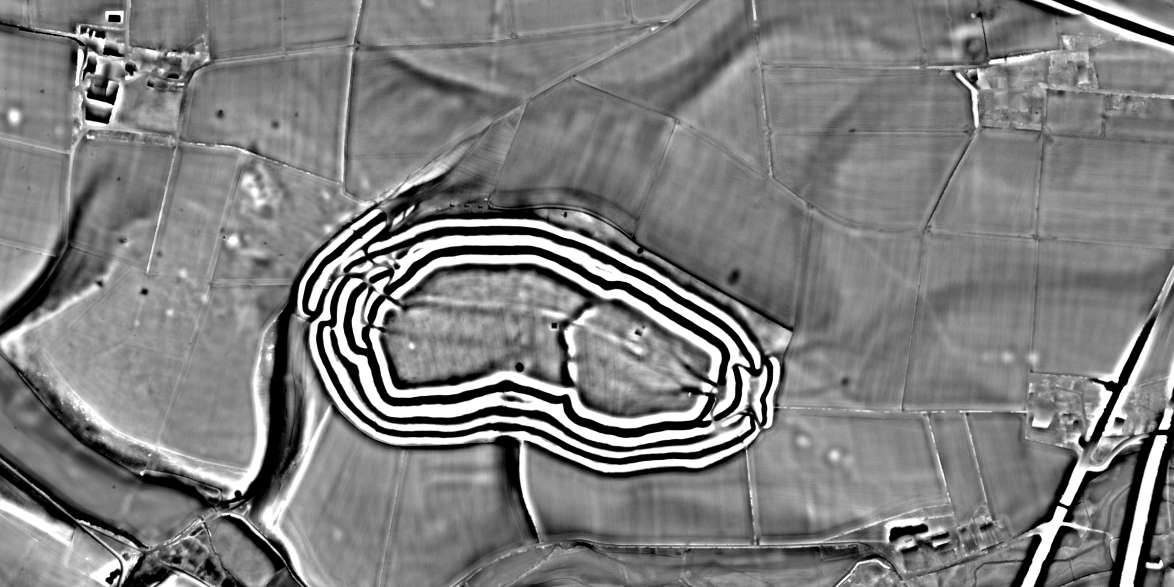
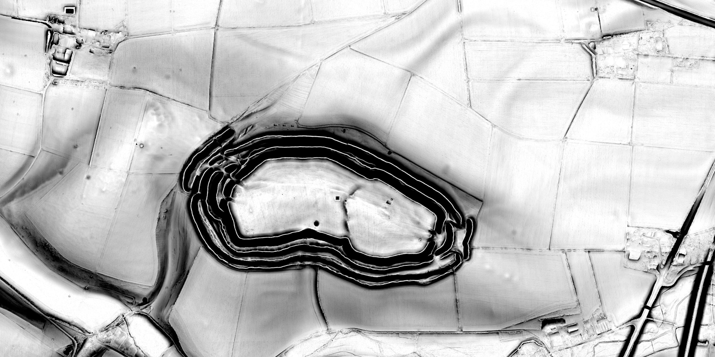
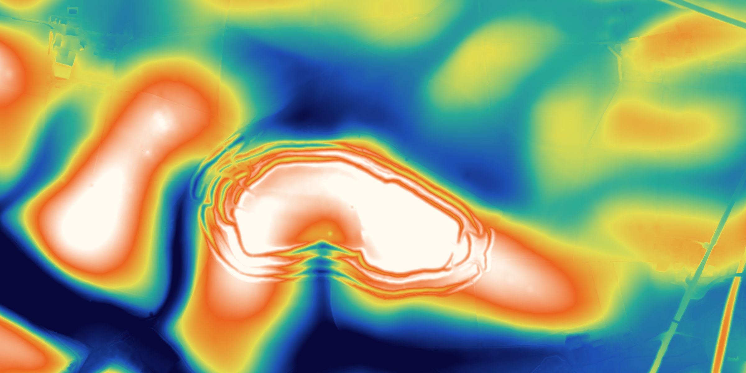
The Environment Agency's survey of England as hillshades, slope and local relief, so banks, ditches, mounds and hollow ways stand out where the eye and the satellite miss them.
A research atlas for England
LiDAR, historic maps and the recorded past on one map, with every source cited. For archaeologists, universities and heritage teams.
Maiden Castle, Dorset
From the air, then in eight views of the Environment Agency's one metre LiDAR over exactly the same ground, so you can see what each one brings out.
Powered by Esri. Source: Esri, Vantor, Microsoft, Earthstar Geographics and the GIS User CommunityEnvironment Agency one metre LiDAR, Open Government Licence v3.0
Field Archaeology is made by Gitwix Limited, a software company in Manchester. The evidence for England's past is held by many public bodies, each with its own website, format and licence. Field Archaeology brings it onto one map, cites every piece of it, and leaves the interpretation to you.
Field Archaeology brings the evidence for England's past onto one map: one metre LiDAR of the bare earth, historic maps from the 1880s to the 1960s, and England's heritage records, each with its publisher and licence. It is made for the work of reading a landscape: looking, comparing, recording and writing it up.
The evidence for a landscape already exists, but it is scattered across many publishers, formats and licences, and gathering it for one question can take days. In one place, with every source cited, the time goes on interpretation instead. How it works
The Environment Agency's survey of England as hillshades, slope and local relief, so banks, ditches, mounds and hollow ways stand out where the eye and the satellite miss them.
Ordnance Survey maps from 1885 to 1961, laid over the ground and compared with today.
The National Heritage List for England, Aerial Investigation and Mapping, Heritage at Risk, Portable Antiquities Scheme findspots, hillforts, Roman roads and Domesday places.
Area reports to print or keep, maps printed to scale on the National Grid, exports in CSV, Shapefile and GeoJSON, and LiDAR heights as GeoTIFF for QGIS or ArcGIS.
Every dataset names its publisher and licence. Every record has a Cite button, and reports and prints list their sources, ready for a dissertation or a client report.
Your files and marks are private to you. What we keep about you is set out plainly, and you can download your work or delete it.
A lecturer creates a class, students join with a code, and work is set, submitted and marked in one place. Students only ever see their own.
Ready-made exercises in LiDAR interpretation, landscape survey and map regression, set in real places in England.
Points recorded by GPS with photographs, walkover tracks, and fieldwalking grids laid out on the National Grid.
Most finds are made by detectorists, and the details that matter are known only at the moment of discovery. A planned feature brings finds recorded at the source to Finds Liaison Officers and researchers, complete, consented and at a safe precision.
We are setting out to measure whether one cited atlas makes landscape research faster and better, with the people who do it, and to publish what we find, whichever way it falls.

Field Archaeology is built on open data from the bodies that hold England's record. Every exported row and every report names its dataset, publisher and licence, and the full list of sources, with their licences, is on Data and licences.
Field Archaeology is independent. Naming a source does not mean it endorses Field Archaeology.
Field Archaeology is in a private pilot. While the pilot runs it is free for the universities, archaeological units and heritage bodies we invite.
A licence for a department or the whole university, with a named lead who manages its people.
Seats for the team, with area reports and exports for client reports.
Access for officers and volunteers, arranged to suit how your team works.
Licences after the pilot will be offered to pilot members first, and are priced on request. How licences work, or get in touch.
Tell us who you are and what you would use Field Archaeology for, and we will reply by email.